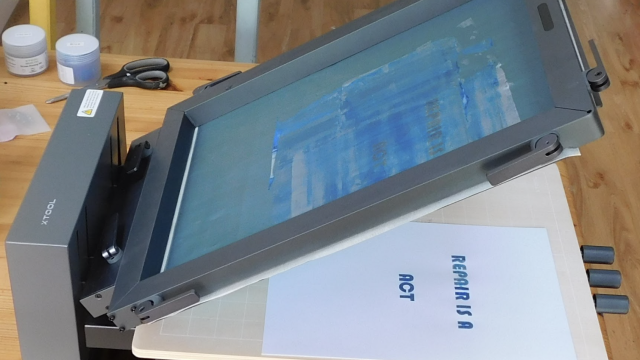
"I had just discovered my local makerspace, and was immediately drawn to the laser cutters. I have always enjoyed looking at unique maps, so I knew I wanted to do a map-related project. At some point, I got the idea to fill in laser-etched wood with opaque-coloured epoxy. The idea grew and became way more complex (as most projects always do…) into fully cutting through the wood and backlighting the epoxy. I used Photoshop and Illustrator to convert a high-resolution waterways map into the vector format needed by the laser cutter. After cutting the wood, I used a blue pigment powder with two-part epoxy resin to fill in the waterways. Standard LED strip-lighting provides the backlight for the resin. I think the coolest aspect of the map is being able to easily visualise different river basins. The Mississippi river basin is huge!"
You can see the full process at hsmag.cc/WwpRCq